


There are 5 map files in the data set, each representing the corridors of certain indoor environment. Every line in a file corresponds to a laser scan segment. The format is as follows:
LINE LineID: (start_x,start_y) -- (end_x,end_y) SegLabel
An example line is like:
LINE 0: (-1.662,0.0029) -- (-1.3061,0.0039) W
This is a segment with ID 0, start point(-1.662,0.0029), end point (-1.3061,0.0039), and it is a 'Wall' segment ('D' is for 'Door' and 'O' for 'Other').
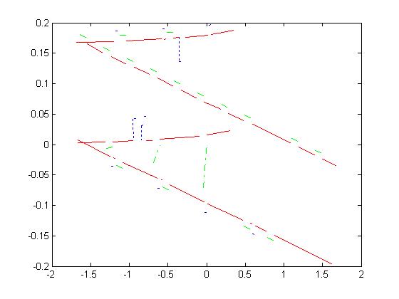
Following are the visualization of the 5 maps, giving you an idea how the problem is like. Red segments are wall segments, green ones are door segments and blue ones for other.